File:Apple Island scale.png
Jump to navigation
Jump to search
Size of this preview: 675 × 600 pixels. Other resolution: 900 × 800 pixels.
Original file (900 × 800 pixels, file size: 1.06 MB, MIME type: image/png)
Summary
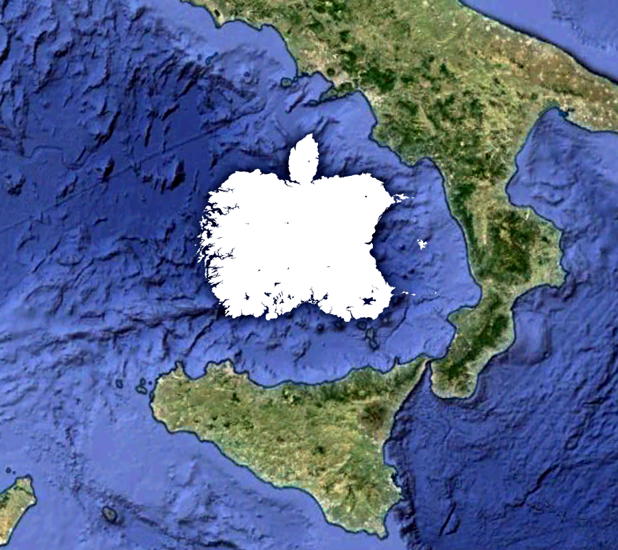
| Description |
A silhouette of Huw Williams's map of the Island of Apple superimposed on the eastern Tyrrhenian Sea in order to indicate scale. |
|---|---|
| Source | |
| Date |
27 June 2020 |
| Author |
Huw Williams |
| License |
This work is licensed under the Creative Commons Attribution-NonCommercial 4.0 International (CC BY-NC 4.0) |
.jpg)
File history
Click on a date/time to view the file as it appeared at that time.
| Date/Time | Thumbnail | Dimensions | User | Comment | |
|---|---|---|---|---|---|
| current | 22:07, 27 June 2020 | | 900 × 800 (1.06 MB) | Huwmanbeing (talk | contribs) |
You cannot overwrite this file.
File usage
The following page uses this file: